Rhodes Diagoras International Airport (RHO)
Orientation and Maps
(Rhodes, Greece)
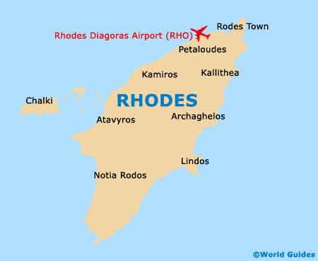
Located on the island of Rhodes, the main city of Rhodes lies on the far northern tip. With a population of around 60,000 people, Rhodes city is home to more than half of the islands residents, which totals around 110,000. The island is fairly long and thin, resembling a spearhead in appearance and stretching for around 80 km / 50 miles in length, by up to 38 km / 24 miles at the widest point. The centre of Rhodes island is a fairly mountainous landscape and features many scattered areas of pine forests and other conifers.
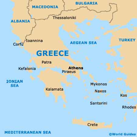
Close to the city and to the south-west, Rhodes Diagoras Airport (RHO) is sited next to the village of Paradisi and is Greece's number three airport. Opened in 1997, this important airport serves a number of local Greek airlines and stands nearby Ixia Beach and Ialysos.
Rhodes Diagoras Airport (RHO) Maps: Important City Districts
Of course, most holidaymakers visit the island of Rhodes for its infamous stretch of beaches, which are situated along the eastern coast. Running from north to south, the main beaches include Faliraki, Kathara, Traganou, Afandou, Kolympia, Taampika, Stegna, Agathi, Haraki, Kalathos and Lindos. To the south of Lindos are some of the best beaches on Rhodes, and those between Plimmiri and Lahania are especially popular.
Towards the north and close to the city of Rhodes, Faliraki is without doubt the area's most developed and tourist-friendly resort, with plenty of beachfront accommodation, restaurants and even a nudist spot to the south. To the north, the Kalithea area is best known for its bay and snorkelling opportunities.
Greece Map
Rhodes Map